Preparing for an off-the-beaten-path adventure in the Andes is thrilling, but figuring out exactly what to put in your duffel bag can feel overwhelming. The weather in the mountains is notoriously unpredictable, making a reliable lares trek packing list your most valuable asset before you even step foot on the trail. If you are wondering what to pack lares trek style, you have come to the right place. In this comprehensive guide, we will break down exactly what you need for a comfortable, safe, and unforgettable 4-day journey to Machu Picchu.
Key Trek Data: Understanding Your Environment
Before diving into the gear, you need to understand the rugged environment you are about to explore. When considering hiking cusco what to bring, these facts dictate your clothing and equipment choices:
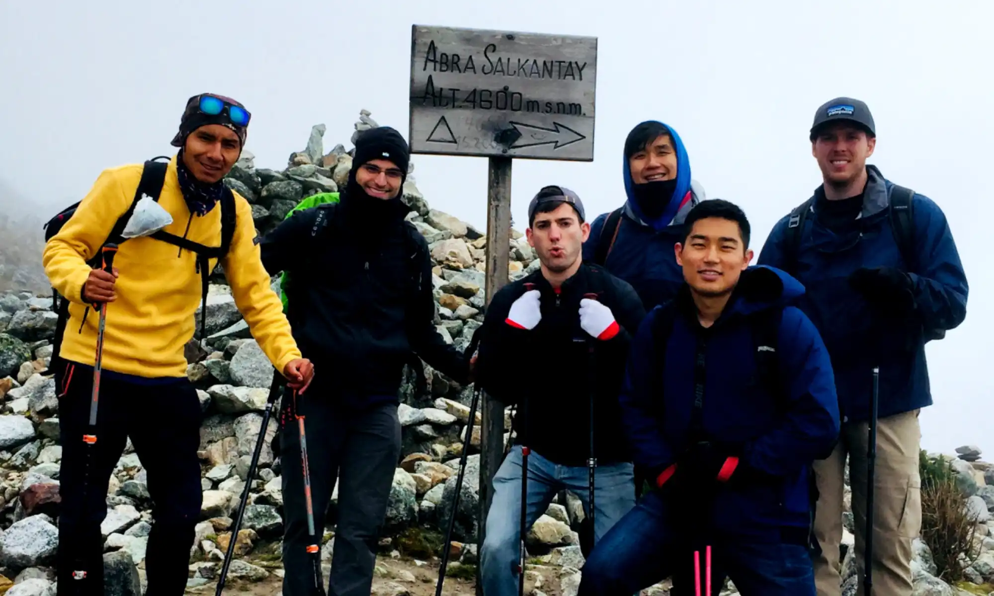
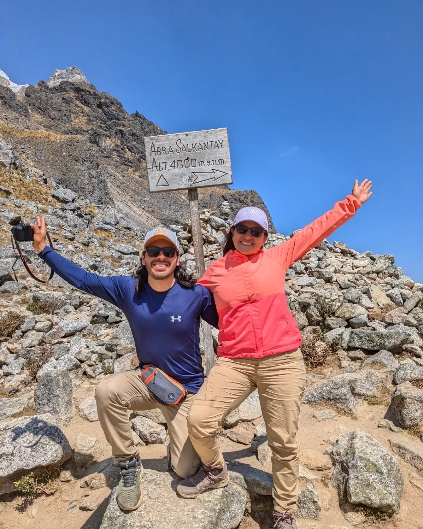
- Altitud: The trail reaches its highest and most demanding point at the Sicllaccasa Pass, sitting at a breathtaking 4,750 meters (15,583 feet).
- Clima: Highly variable and extreme. Expect warm, intense sunshine during the daytime and freezing temperatures that drop below zero at night.
- Mejor temporada: The dry season, running from May to October, offers clear blue skies and the safest, least muddy trekking conditions.
- Dificultad: Moderate to Challenging (3.5 out of 5). The high altitude is the biggest hurdle, requiring steady pacing and good stamina.
- Qué llevar: A strategic mix of moisture-wicking base layers, heavy thermal insulation, and highly reliable waterproof outerwear.
The Ultimate Lares Trek Packing List Essentials
Building your perfect setup is all about the art of layering. You want clothes that you can easily add or remove as the mountain microclimates shift. Here is the essential lares trek gear you simply cannot hike without:
Clothing for the Mountains
Pack 3 to 4 moisture-wicking sports t-shirts, 2 pairs of durable trekking pants, and thermal underwear strictly for sleeping. You will also need a heavy fleece or down jacket, and a high-quality waterproof and windproof outer shell to protect you from sudden rain or snow.
Footwear and Accessories
Sturdy, well-broken-in waterproof hiking boots with excellent ankle support are completely non-negotiable. Pair them with 4 pairs of thick merino wool socks to prevent painful blisters. Don’t forget a warm beanie for the freezing nights and a sun hat for the day.
Your Daily Daypack
In your personal daypack, carry a 2-liter water bladder or reusable bottles to stay constantly hydrated. Include high-SPF sunscreen, UV-blocking sunglasses, hand sanitizer, and a basic personal first-aid kit with blister treatments.

Consejos de Experto: Pack Like a Local Trekkers Peru Guide
As local experts who spend our lives on these trails, we have seen it all. Here are a few insider packing secrets that most standard guides forget to mention:
- Aclimatación en la mochila: Pack traditional coca leaves or coca candies in your daypack. Chewing them during the steep ascent to the pass is an ancient, highly effective way to fight altitude sickness.
- Seguridad y baterías: The freezing mountain nights will drain your electronics incredibly fast. Sleep with your phone and power bank safely tucked inside your sleeping bag to preserve their battery life.
- Horarios y capas: Trekking mornings start very early (often before 5:30 AM) when it is freezing. Start with all your layers on, and plan to strip down to a single t-shirt by 9:00 AM when the sun fully hits the valley.
Conclusion: Master Your Lares Trek Packing List
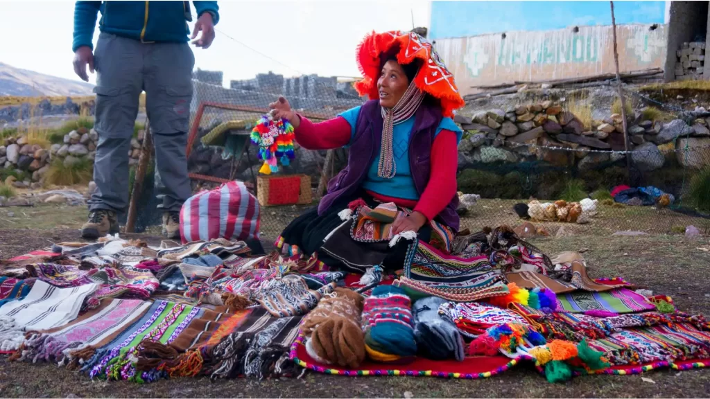
Trekking through remote Andean weaving communities and relaxing in natural hot springs is a truly life-changing experience. By carefully following this expert lares trek packing list, you guarantee that you will be warm, dry, and comfortable, allowing you to focus entirely on the stunning landscapes. Do not let packing stress ruin your adventure; proper preparation is the ultimate key to a successful journey.
Ready to experience the authentic Andes? At Local Trekkers Peru, we provide top-tier camping equipment, thick sleeping mats, and expert guidance so you can hike with absolute peace of mind. Contact us today to book your Lares Trek package and let’s start planning your ultimate mountain escape!